Lake Tanganyika cichlids — species, locations & maps
By genera
By locations
Species List (A–Z)
Interactive map
Locations
Species Map
Posters
Photo Credits
Search
×
Copy link
Share
Facebook
Mabilibili Bay, Lake Tanganyika, Tanzania
View cichlids from
Mabilibili
Photo gallery
The rocky outcrop at the southern side of Mabilibili Bay. The cement beacon in the picture to the right marks
the southern boundary of Mahale Mountains National Park. Fishing within the borders of the national park is strictly forbidden.
Photo: © African Diving Ltd
Mabilibili Bay
Photo: © Carsten Thorleif Stabel
Mabilibili Bay
Photo: © Pam Chin
Mabilibili Bay
Photo: © Pam Chin
Mabilibili Bay
Photo: © Pam Chin
Mabilibili Bay
Photo: © Pam Chin
Mabilibili Bay
Photo: © Pam Chin
Mabilibili Bay
Photo: © Pam Chin
Mabilibili Bay
Photo: © Pam Chin
Mabilibili Bay
Photo: © Pam Chin
Mabilibili Bay
Photo: © Pam Chin
Mabilibili Bay
Photo: © Pam Chin
×
◀
▶
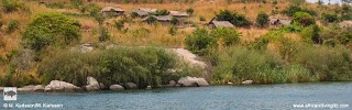
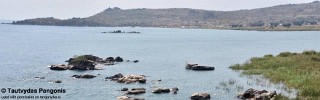
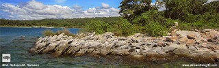
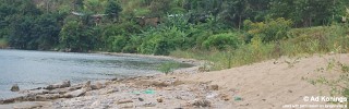
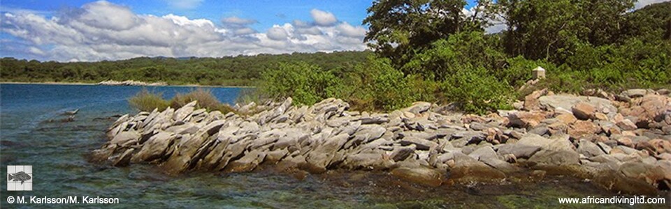



Photo gallery
the southern boundary of Mahale Mountains National Park. Fishing within the borders of the national park is strictly forbidden.
Photo: © African Diving Ltd
Photo: © Carsten Thorleif Stabel
Photo: © Pam Chin
Photo: © Pam Chin
Photo: © Pam Chin
Photo: © Pam Chin
Photo: © Pam Chin
Photo: © Pam Chin
Photo: © Pam Chin
Photo: © Pam Chin
Photo: © Pam Chin
Photo: © Pam Chin